Transportation Planning Organization


Documents, Activities & Events
Gain insights about recent analyses and studies completed by TPO:
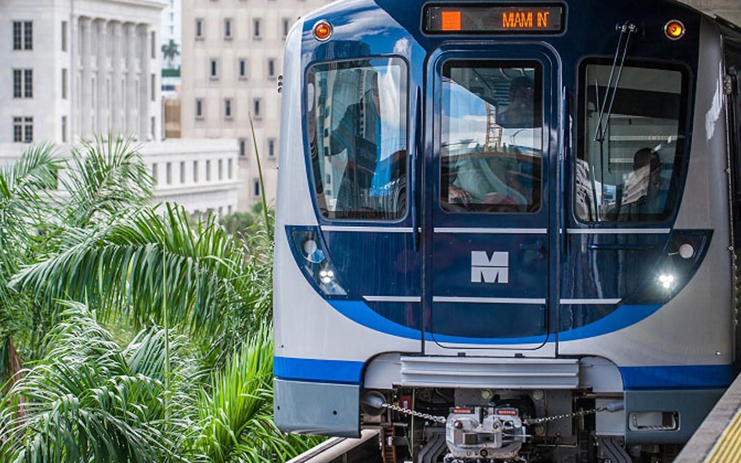
 The 2050 LRTP was adopted by the Miami-Dade TPO Governing Board on September 17, 2024. It is a visionary blueprint designed to guide the future of transportation in rapidly evolving Miami-Dade County as the community faces challenges and opportunities that come with growth, technological advancements, and the need for sustainable development. The Plan was built around core principles that highlight Miami-Dade TPO’s commitment to enhancing the quality of life for all residents, ensuring seamless connectivity across Miami-Dade County, and fostering economic vitality through strategic transportation investments. The 2050 LRTP is focused on providing mobility options and is guided by achieving world-class transportation that promotes mobility, safety, innovation, and economic competitiveness for Miami-Dade County’s current and future generations.
View the 2050 LRTP here and Flipbook
Annual Report

The federally required 2025 Annual Report is now available. This report serves to inform the general public and partner agencies on the federal fund allocations and transportation priority projects advancing in Miami-Dade County.
The 2025 Annual Report offers a comprehensive overview of initiatives and achievements by TPO aimed at improving mobility and transportation opportunities in Miami-Dade County.
View the 2025 Annual Report as a Flipbook or download the PDF
 Unified Planning Work Program (UPWP)
The UPWP describes transportation planning priorities and activities managed by the Miami-Dade TPO. The program includes specific tasks for the TPO and transportation planning partners that will be performed every two years. The current UPWP is being carried out from July 1, 2027 through June 30, 2028, and outlines the planning, projects, budget, and activities that support the comprehensive and multimodal transportation improvement program approved for Miami-Dade County.
View the FYs 2027 and 2028 UPWP here
Transportation Improvement Program (TIP)
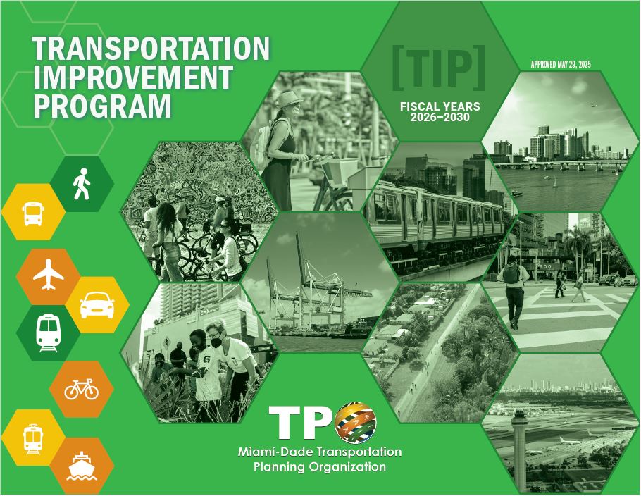 The current FYs 2026-2030 TIP specifies transportation improvements for the next five years, and is updated every year as required by federal government regulations. It is a staged multi-year program that sets the priorities of transportation improvement projects with federal, state, and local funding. It contains various categories of improvements including: Highway, Transit, Aviation, Seaport, Non-Motorized, Freight, Private Sector, and Regionally Significant Transportation Projects. It must also contain all transportation projects that receive federal funds.
View the FYs 2026-2030 TIP here and Executive Summary - Citizens Version here
 On January 30, 2025, the Miami-Dade TPO Governing Board recognized TPO’s new transportation safety influencer “Mobility Guardian” with its winning design created by students from New World School of the Arts (NWSA) ninth grade Digital Imaging/3D Studies/Entrepreneurial class. This project was unanimously approved by the TPO Governing Board to promote educational opportunities and exchanges with Miami-Dade County Public School Board.
This collaboration was led by TPO Executive Director, Aileen Bouclé, AICP, and management team including TPO Deputy Director-Administration, Zainab Salim, MPA, alongside NWSA Principal, Dr. Contessa Bryant, and NWSA teacher, Mr. Ray Parris.
Along with Mobility Guardian, Mobility Maven and Mobility Maverick were chosen as Mobility Guardian’s friends as the “Transportation Safety Influencers.”
Congratulations to all students who participated!